PITTSBURGH — Hopefully you enjoyed the dry weather yesterday! That break will end soon as steady rain fills back into the area this morning. Initially, much of it will be light, but heavier showers may develop as we approach midday and especially this afternoon.
TRACK THE RAIN WITH OUR INTERACTIVE RADAR
Air quality is not the best this morning with most air quality sensors in the Unhealthy for Sensitive Groups range. Take it easy if spending prolonged periods of time outdoors.
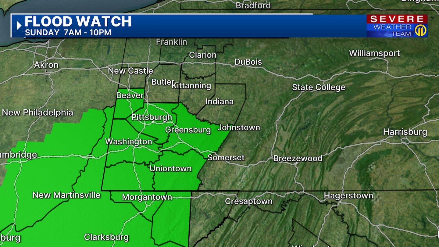
Beaver, Allegheny and Westmoreland counties and points south, where a Flood Watch is already in effect, are most at risk for heavy rain.
Higher instability will reside south of Pittsburgh, where a stronger storm or two may also develop.
Most of the showers should wind down this evening, but we are monitoring Monday for the potential of strong storms during the afternoon. While storm speed will be a bit faster, there may be “training” of thunderstorms keeping the localized flood risk elevated.
Aside from a stray shower on Tuesday, we should enter a nice dry stretch for mid-week with warm afternoons but tolerable humidity levels!
Download the FREE WPXI News app for breaking news alerts.
Follow Channel 11 News on Facebook and Twitter. | Watch WPXI NOW
©2025 Cox Media Group


