Adis Juklo, WPXI-TV
Meteorologist
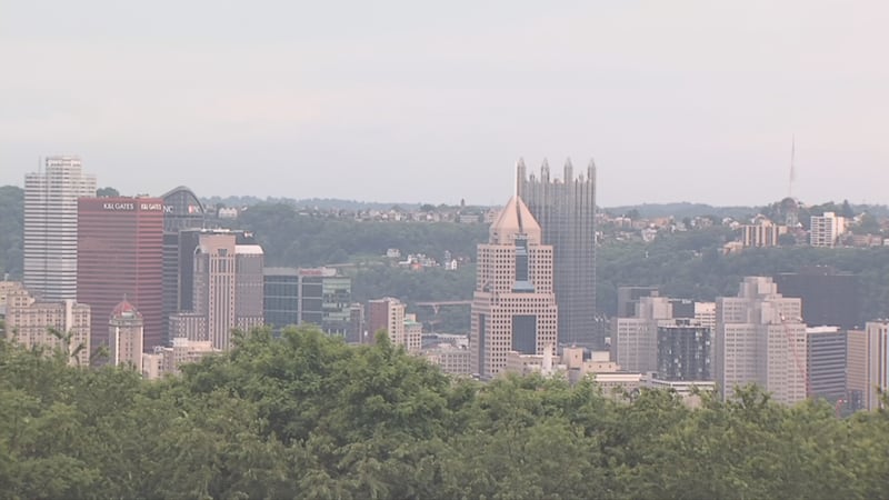
Adis is a proud Pittsburgh native who graduated from Fox Chapel Area High School in 2014. He developed an interest in meteorology as a young kid and carried that all the way through college.
He went to Penn State University, getting his degree in Meteorology and Atmospheric Sciences, all while doing freelance work at WTOV in Steubenville Ohio.
Upon graduation, Adis started his first full-time meteorologist position at abc27 in Harrisburg, where he stayed for almost 5 years.
He is thrilled to be home now and root on his favorite team, the Pittsburgh Penguins. Adis' family originates from Bosnia-Herzegovina, and he is first-born in the United States!


/cloudfront-us-east-1.images.arcpublishing.com/cmg/XCUXZC2XYZHCRGNNGKFEX6U3LQ.png)


